
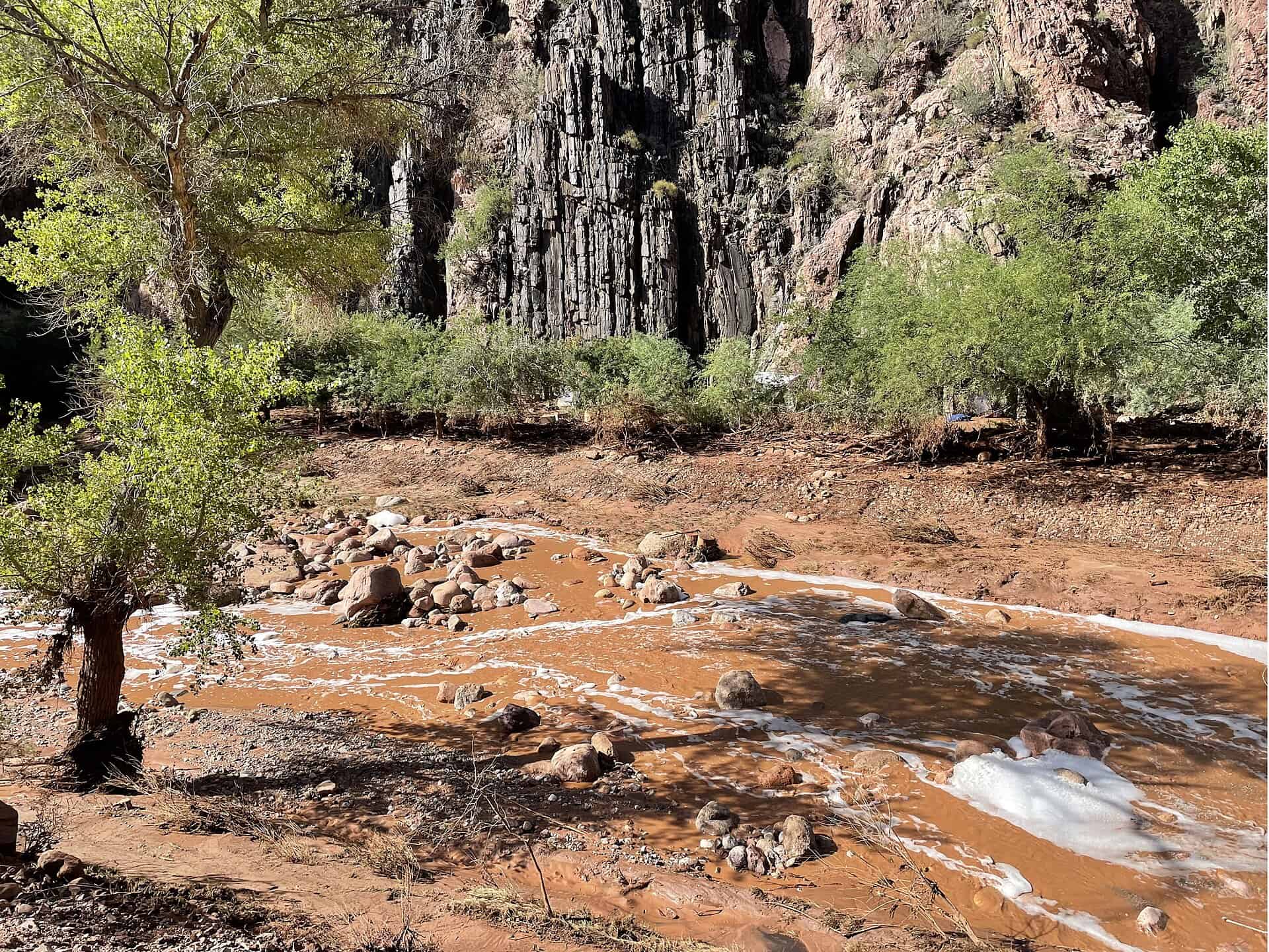
The Transcanyon Waterline replacement was about three months from finishing. On August 29 a flash flood in Bright Angel Canyon took out roughly 40% of the line it was replacing.
The National Park Service announced the preliminary damage assessment on August 31, two days after the flood knocked the 12.5-mile waterline out of service. The park moved to Stage 4 water restrictions and closed overnight lodging on the South Rim. Sixty-two people were evacuated from Phantom Ranch and the lower North Kaibab Trail. ENR has since reported two fatalities connected to the flooding, with search and recovery continuing.
The $208 million replacement project, awarded in March 2023, was roughly 70% complete as of February 2026, with construction wrap-up projected for October 2026 and system testing and turnover planned for 2027. Stronghold Engineering of Perris, California is the prime contractor. Its chief operating officer told The New York Times the delay is at least two to three months, which is a contractor estimate rather than an NPS position. The Park Service hasn’t released a repair cost, a revised schedule, or which segments were hit.
The design assumption that failed
This is the part worth reading closely. The runoff came off the burn scar of the 2025 Dragon Bravo Fire, which burned 149,399 acres, including 71,129 acres of park-managed land. A federal Burned Area Emergency Response team had already modeled the hydrology and projected runoff increases of two to eight times upstream of Phantom Creek, and one to two times downstream to the Colorado River.
The team also concluded that the assets, sited above modeled floodplains, were unlikely to be significantly affected under normal storm conditions. The National Weather Service estimated a quarter to half an inch of rain fell in the twelve minutes between 2:30 and 2:42 p.m. local time on August 29.
“Above the modeled floodplain” was the standard, and the standard held right up until the watershed stopped behaving like the model. Post-fire debris flows don’t move like water. They move like concrete, and they scour to a depth and width that a clear-water floodplain map has no reason to predict.
The same canyon did this before
In 1966 a flood destroyed about 40% of the original aluminum waterline days before it was to enter service. The project’s cost went from $2 million to $5 million and reconstruction began in late 1967. That original line, built starting in January 1965, is the one now being replaced.
The replacement scheme was supposed to reduce exposure. Moving the South Rim intake from Roaring Springs to Bright Angel Creek near Phantom Ranch eliminated roughly seven miles of line. Fewer miles in the canyon is less to lose. It still wasn’t enough.
What a contractor downstream of a burn scar should take from it
More than 800 historic buildings depend on this system for potable water and fire suppression, so the repair isn’t optional and the schedule pressure will be real. But the transferable finding is about siting, not scheduling.
If you’re building anything downstream of a recent burn scar, the modeled floodplain is a starting point and not a clearance. The BAER modeling here was done, it was specific, it predicted elevated runoff, and the conclusion drawn from it still put assets in the path. Federal owners are carrying a lot of aging water and marine infrastructure through exactly this kind of retrofit, as with the Navy’s Dry Dock 8 modernization at Norfolk Naval Shipyard.
Sources: the NPS news release and ENR.